Tso Kar – Tso Moriri: Bikepacking the Indian Himalaya
Distance
46 Mi.
(74 KM)Days
4
% Unpaved
88%
% Singletrack
60%
Total Ascent
6,369'
(1,941 M)High Point
18,564'
(5,658 M)Difficulty (1-10)
9?
- 9Climbing Scale Very Strenuous138 FT/MI (26 M/KM)
- -Technical Difficulty
- -Physical Demand
- -Resupply & Logistics
Contributed By
The Pikes
The Andes by Bike

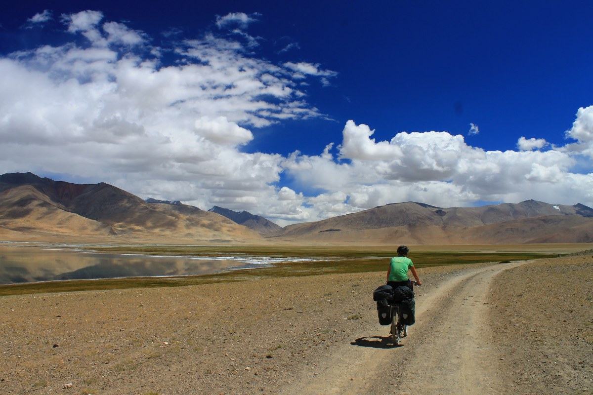
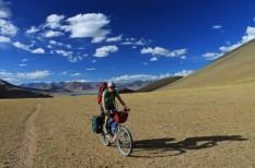
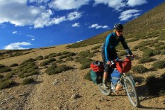
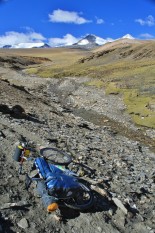
Despite the fact that gradients on many of the uphills are too steep to ride, it’s all pushing rather than carrying, and the descents are thrilling.
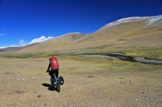
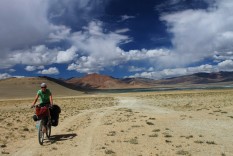
There are four lofty passes on the route, and in the valleys in between nomadic herders set up tents in the summer months. A profusion of non-technical peaks in the area tempt those who like to combine their biking with explorations on foot. Though it’s under 50 miles from the main Manali-Leh road to Tso Moriri, the thin air means it takes most people three or four days to cover the distance.
Highlights
Must Know
Camping
Food/H2O
- The wildness of the area
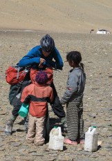
- Occasional meetings with Ladakhi nomads.
- Cresting 5600m.
- Kozur La.
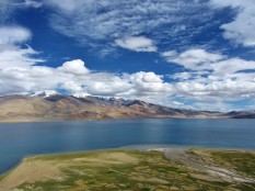
- The descent to Tso Moriri is unforgettable.
- The route leaves the Manali to Leh highway between Pang and the Taglang La, and heads south-east to Tso Moriri.
- June – September is the best (only) time to visit the area – snow and extreme cold blocks it off to the outside world for most of the year.
- Inner Line Permits are needed to visit the region – they can be obtained in Leh, and there’s a checkpoint near Korzog, on the shores of Tso Moriri.
- Detailed route info here: http://pikesonbikes.com/routes/himalaya-biking/tsokar-tsomoriri/
- Inner Line Permits are needed to visit the region – they can be obtained in Leh, and there’s a checkpoint near Korzog, on the shores of Tso Moriri.
- Wild camping is available.
- As there are no permanent settlements to resupply between the Leh-Manali road and Korzog, you need to bring all supplies with you. Water can be found on occasion.
Terms of Use: As with each bikepacking route guide published on BIKEPACKING.com, should you choose to cycle this route, do so at your own risk. Prior to setting out check current local weather, conditions, and land/road closures. While riding, obey all public and private land use restrictions and rules, carry proper safety and navigational equipment, and of course, follow the #leavenotrace guidelines. The information found herein is simply a planning resource to be used as a point of inspiration in conjunction with your own due-diligence. In spite of the fact that this route, associated GPS track (GPX and maps), and all route guidelines were prepared under diligent research by the specified contributor and/or contributors, the accuracy of such and judgement of the author is not guaranteed. BIKEPACKING.com LLC, its partners, associates, and contributors are in no way liable for personal injury, damage to personal property, or any other such situation that might happen to individual riders cycling or following this route.
Please keep the conversation civil, constructive, and inclusive, or your comment will be removed.


