Khangai Mountains Traverse, Mongolia
Distance
300 Mi.
(483 KM)Days
6
% Unpaved
95%
% Singletrack
3%
% Rideable (time)
100%
Total Ascent
12,750'
(3,886 M)High Point
9,200'
(2,804 M)Difficulty (1-10)
6?
- 3Climbing Scale Fair43 FT/MI (8 M/KM)
- -Technical Difficulty
- -Physical Demand
- -Resupply & Logistics
Contributed By
Cass Gilbert
While Out Riding
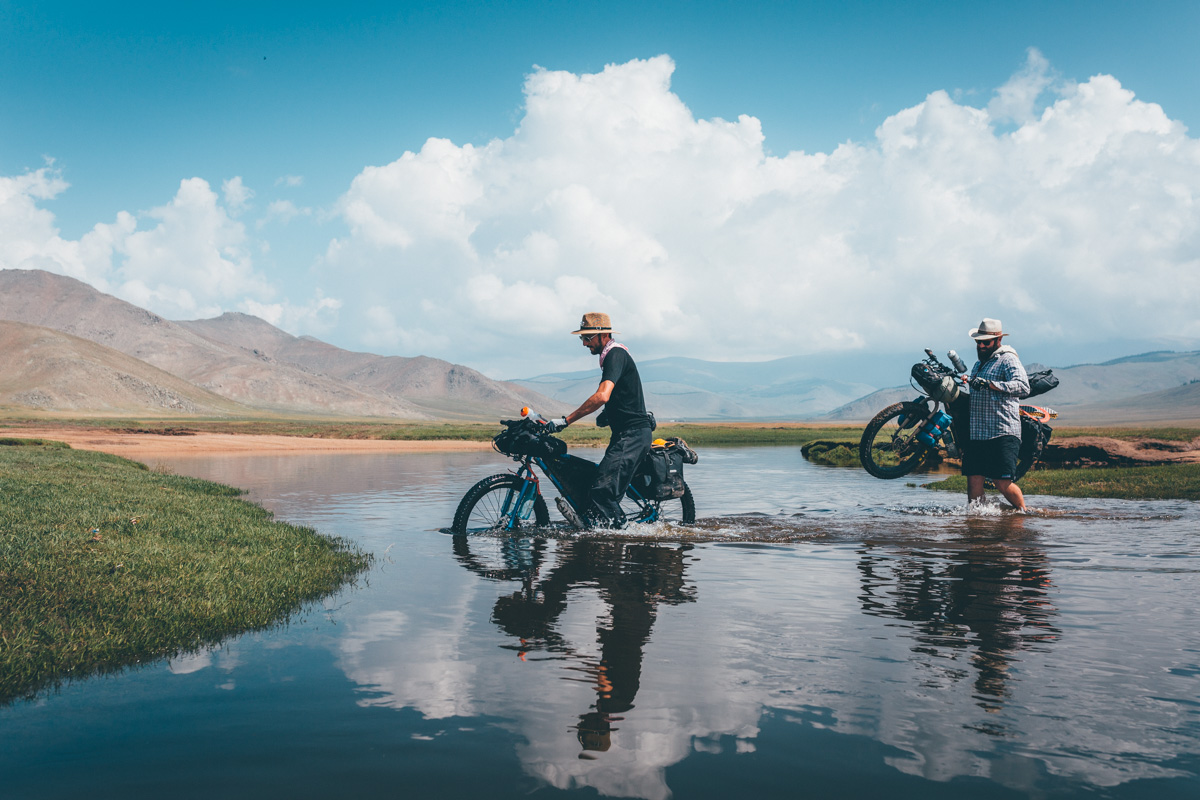
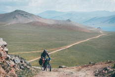
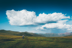
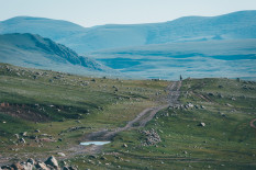
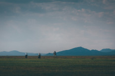
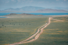
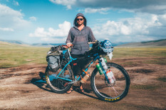
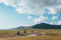
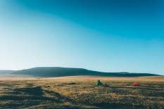
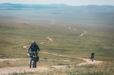
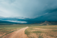
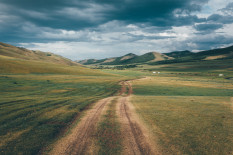
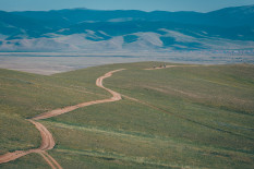
Dirt, grass and gravel roads abound. Where there are none, simply pedal your way across open steppe – the rolling, grassy terrain that makes up the majority of the country. Given the range of conditions – hardpack to corrugation to sand to bog – large volume mountain bike or midfat tires are ideal, especially for freestyling across the grasslands, or seeking out lesser travelled roads.
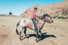
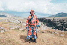
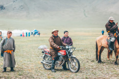
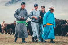
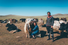
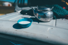
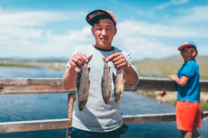
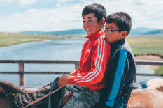
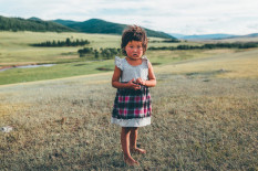
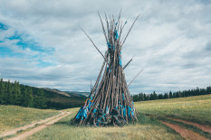
Expect Mongolian hospitality from every gher (yurt) you pass, in the form of warm smiles, fresh milk and jawbreakingly dry cheese, generally washed down with a shot of homebrew vodka. And, be prepared to swap a spin on your bike for a gallop on a horse!
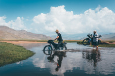
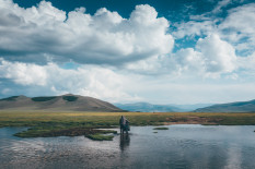
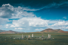
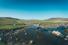
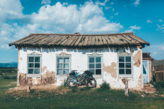
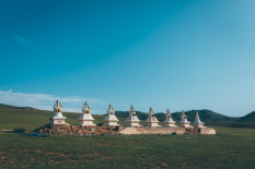
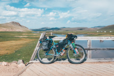
Almost all of Mongolia offers excellent touring potential; this route zones in on the Khangai Mountains. It begins in the provincial capital of Arkhangai, winding its way over several high passes, fording rivers, passing an ancient circle of deer stones, and finally wrapping its way around the magnificent Terkhiin Tsagaan Nuur – the Great White Lake – near Tariat Sum.
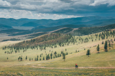
The Arkhangai province is considered amongst the most beautiful parts of the country, thanks to its rugged mountains, swathes of forest and crystal clear streams. It’s an area that’s also cooler in the summer and has better access to water than lower lying areas of the steppe, making it ideal for bikepacking forays.
Submit Route Alert
As the leading creator and publisher of bikepacking routes, BIKEPACKING.com endeavors to maintain, improve, and advocate for our growing network of bikepacking routes all over the world. As such, our editorial team, route creators, and Route Stewards serve as mediators for route improvements and opportunities for connectivity, conservation, and community growth around these routes. To facilitate these efforts, we rely on our Bikepacking Collective and the greater bikepacking community to call attention to critical issues and opportunities that are discovered while riding these routes. If you have a vital issue or opportunity regarding this route that pertains to one of the subjects below, please let us know:
Highlights
Must Know
Camping
Food/H2O
Resources
- Put aside a few hours to explore Narantuul, Ulaanbaator’s infamous the ‘black market’ – which sells anything and everything. If you’ve forgotten anything for your trip, this is the place to find it.
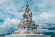
- Overlooked by downtown’s high rises, the mystical Choijin Lama temple is well worth visiting too.
- Gaze in wonder at the circle of deer stones – ancient megaliths carved with text and symbols – along the way.
- Be sure to check current visa requirements. Visitors wishing to stay for more than 30 days will need to register. US citizens can stay for 90 days, and European citizens for 30 days – though this can be extended for a cost.
- Roads are unmarked, signposts are rare, and communication is challenging – so get comfortable with using a GPS before heading out.
- A phrasebook is really handy too.
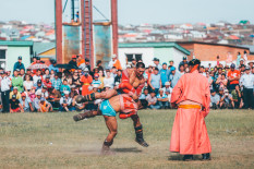
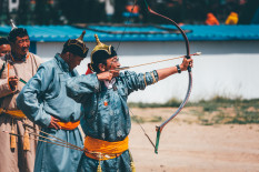
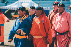
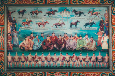
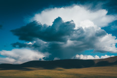
- Summer and autumn are the best times to visit. Summer offers the chance to experience the country’s yearly athletic games (Nadaam) and enjoy warmer temperatures – but the weather tends to be more variable, with a greater chance of storms and rain. From late August onwards, temperatures begin drop and skies are clearer.
- Fuel for denatured alcohol stoves is impossible to find. Bring a multi fuel system.
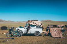
- Mongolia is effectively one giant camp site! One of the most appealing aspects of touring here is that you can safely pitch your tent almost anywhere you like.
- In the Khangai Mountains, access to water is generally good – capacity to carry 4-5l at a time is probably sufficient. If you’re running short and there’s no river to be found, simply head to the nearest gher and ask – Mongolian families store their water in the blue containers out front, or can point you to the nearest spring.
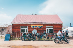
- Most settlements in Mongolia will offer basic stores – eg Changai, Zag and Jargalant – though they can be very basic in variety.
- Tsetserleg, the capital of the province, offers the widest choice, followed by Tariat, at the end of the ride.
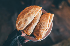
- Most settlements will have a restaurant or two where you can carbo load on dumplings (buuz) and meat empanadas (huushuur). You may need to ask around to track them down.
- Any ghur will most likely invite you in, and offer Mongolian staples; namely horsemilk, dried cheese and vodka.
Extras
- The Fairfield Guesthouse in Tsersteleg makes a great base for this trip. It has hot showers, reasonable wifi, and is an excellent source of local information.
- The Fairfield also has a variety of tools, as well as Trek mountain bikes to rent for a very reasonable $15 a day, including racks and Ortlieb panniers.
- It’s 8 hours in a bus or minibus from Ulaanbaator to Tsertseleg ($11 + negotiable fee for bike).
- The Cycling World in Ulaanbaator is the best shop for modern mountain bike spares.
- Lonely Planet’s guide to Mongolia offers a comprehensive overview of the country, that includes crucial gps coordinates, and works particularly well downloaded to a smartphone. Brandt’s guide offers excellent historical and cultural chapters, but is only available in print or as a pdf.
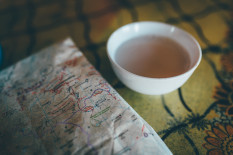
- A road map in both cyrillic and English is recommended. These can be procured at the tourism office at the State Department Store in Ulaanbaator.
- Local SIM cards are easily available. Cell coverage is good. Rates are very cheap, though data speeds are slow. We used Mobicom, the most popular carrier.
- We all used the excellent topo maps app Gaia on our smartphones to navigate, downloading the Cycling Topo Thunder Forest OSM overlay.
- If you want to extend this route, continue onwards to Mörön, a 3-4 day ride away. From there you can venture north and explore Lake Khövsgöl, or bus back to UB (14 hours).
- Be warned. The flies in the summer can be horrendous, particularly close to livestock. Not much you can do about it but be zen. Some mosquito repellent can be handy too, particularly around lakes.
Terms of Use: As with each bikepacking route guide published on BIKEPACKING.com, should you choose to cycle this route, do so at your own risk. Prior to setting out check current local weather, conditions, and land/road closures. While riding, obey all public and private land use restrictions and rules, carry proper safety and navigational equipment, and of course, follow the #leavenotrace guidelines. The information found herein is simply a planning resource to be used as a point of inspiration in conjunction with your own due-diligence. In spite of the fact that this route, associated GPS track (GPX and maps), and all route guidelines were prepared under diligent research by the specified contributor and/or contributors, the accuracy of such and judgement of the author is not guaranteed. BIKEPACKING.com LLC, its partners, associates, and contributors are in no way liable for personal injury, damage to personal property, or any other such situation that might happen to individual riders cycling or following this route.
Please keep the conversation civil, constructive, and inclusive, or your comment will be removed.


