Hawkesbury OGNR
Distance
123 Mi.
(198 KM)Days
2-3
% Unpaved
59%
% Singletrack
3%
% Rideable (time)
97%
Total Ascent
9,184'
(2,799 M)High Point
870'
(265 M)Difficulty (1-10)
4?
- 5Climbing Scale Moderate75 FT/MI (14 M/KM)
- 4Technical Difficulty Fair
- 6Physical Demand Moderate
- 2Resupply & Logistics Easy
Contributed By

Matthew Crompton
Guest Contributor
Matthew Crompton is an award winning writer, photographer and metaphysician with a side gig in education policy. American by birth, he’s been exploring the wonders of the Australian continent since 2012. He lives in the heart of Sydney, where the dumplings are reliably top-notch. Find him on Instagram @matthew.crompton or at matthewcrompton.com.
Accessibility is a big issue for bikepacking in Australia. While its reputation is one of wide-open spaces, Oz is actually one of the most heavily urbanized countries on Earth. Ninety percent of our population lives in just 0.22% of the continent’s land area, and of that population, fully a fifth of us (5.3 million) live in and around Greater Sydney. Despite the wealth of natural wonders that surround the city, good public transit-accessible routes are hard to find, and the bicycle-unfriendly policies of NSW trains don’t help.
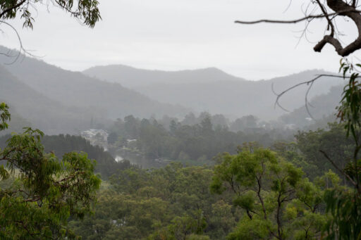
Fortunately, for those of us who – by choice or by necessity – don’t own a car, the Hawkesbury River region is just an hour away on the train. The Hawkesbury OGNR route leaves from Windsor Station and takes you through the green riverlands north of Sydney via quiet dirt roads, gum forests, and fun trips on the region’s network of free cable-operated river ferries. Past the town of Wisemans Ferry, the route joins the Old Great North Road. Built by convicts in the early 1800s, it’s a UNESCO World Heritage site, and is full of fascinating artifacts from the bad old days when the British were positively drunk on the concept of free labor.
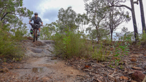
The OGNR was abandoned soon after it was completed, and today it’s a rough track that zigzags through the remote, rugged and beautiful sandstone country of Dharug National Park. This is the most fun and adventurous part of the ride, and will test your technical climbing and descending ability on chunky terrain. From the top of the route, pretty dirt roads lead back through Yengo National Park to the tiny village of St Albans, home to The Settlers Arms, arguably the most delightfully weird country pub in NSW. After a celebratory beer (and a gander at the resident peacocks), retrace your tracks back to the train.
Route Difficulty
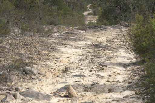
The Hawkesbury OGNR route is a (mostly) easy introduction to the wonders of the Hawkesbury region. It’s wholly non-technical with the exception of the Old Great North Road, which is full-on chunky rock garden territory, and cannot be recommended on a gravel bike. Most of the roads travel quickly, but the OGNR section is long and hard with plenty of techy climbing and hike-a-bike, and will take the better part of a day on its own. While you could do the route as an overnighter (assuming you’re a very strong rider, pack light, and get an early start), it’s better as a weekender, which is what this rating is based on, taking 2 ½ to 3 days. With easy roll-on/roll-off train access, plenty of towns and shops along the way, and generally abundant water, logistics are straightforward.
Route Development: As with many routes in the Greater Sydney area, a shout-out is necessary to the good folks at Sydney’s Omafiets bike shop, who were my first introduction to the Hawkesbury region. The full route was researched over many trips to the area between 2013 and 2023.
 This route is part of the Local Overnighter Project, which was created to expand our growing list of worldwide bikepacking routes—the first and largest of its kind—and create an independent map and catalog of great bikepacking overnighters, curated by you, from your own backyard. Our goal is to have accessible routes from every town and city in the world. Learn More
Submit Route Alert
As the leading creator and publisher of bikepacking routes, BIKEPACKING.com endeavors to maintain, improve, and advocate for our growing network of bikepacking routes all over the world. As such, our editorial team, route creators, and Route Stewards serve as mediators for route improvements and opportunities for connectivity, conservation, and community growth around these routes. To facilitate these efforts, we rely on our Bikepacking Collective and the greater bikepacking community to call attention to critical issues and opportunities that are discovered while riding these routes. If you have a vital issue or opportunity regarding this route that pertains to one of the subjects below, please let us know:
Highlights
Must Know
Camping
Food/H2O
Trail Notes
- Roll-on / roll-off public transit access just an hour from Sydney – no need to box your bike or get behind the wheel!
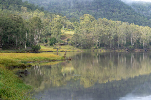
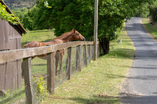
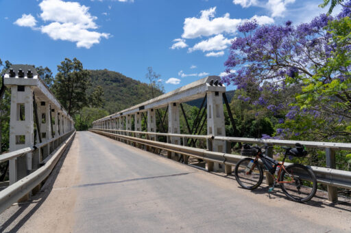
- Pretty riverside riding on quiet roads along the Hawkesbury and its tributaries.
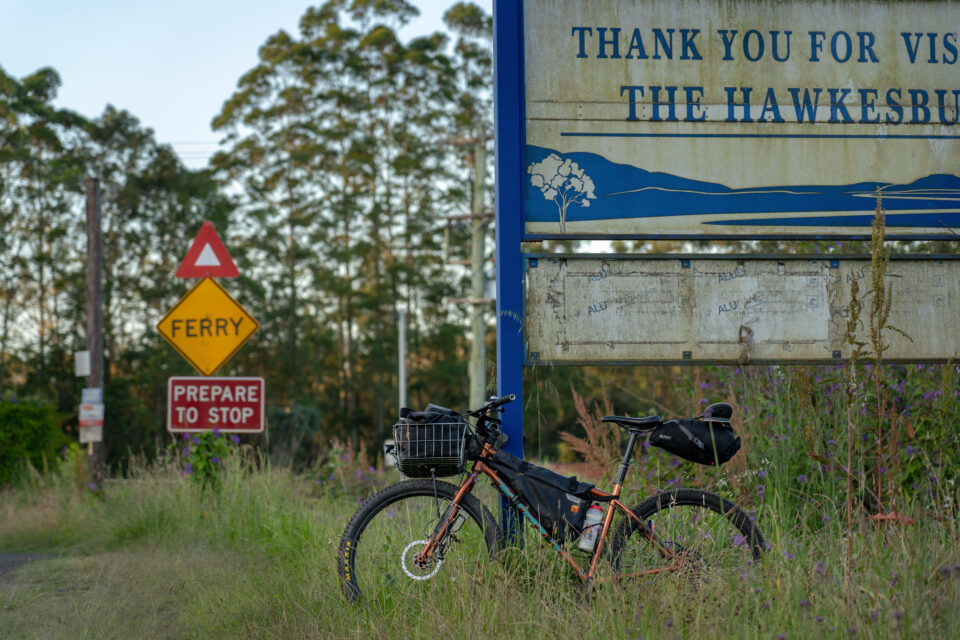
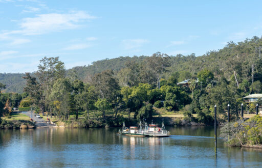
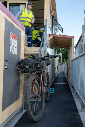
- The Hawkesbury’s nifty cable-operated river ferries never really get old. Over the course of the route you’ll take a ride on four out of the five (some more than once!).
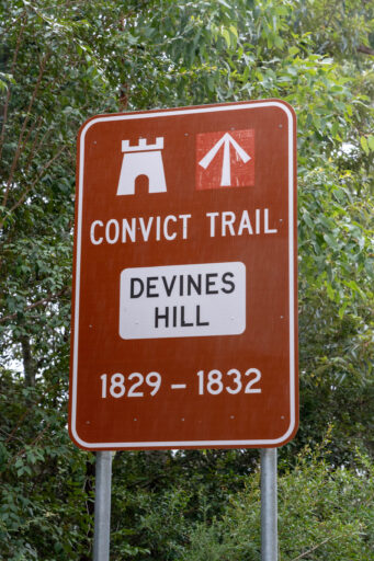
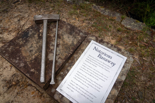
- Devine’s Hill isn’t just a climb, it’s a historical experience full of relics from the era of convict labor that once built the Old Great North Road. The signage is well done, and it’s well worth stopping to read it all.
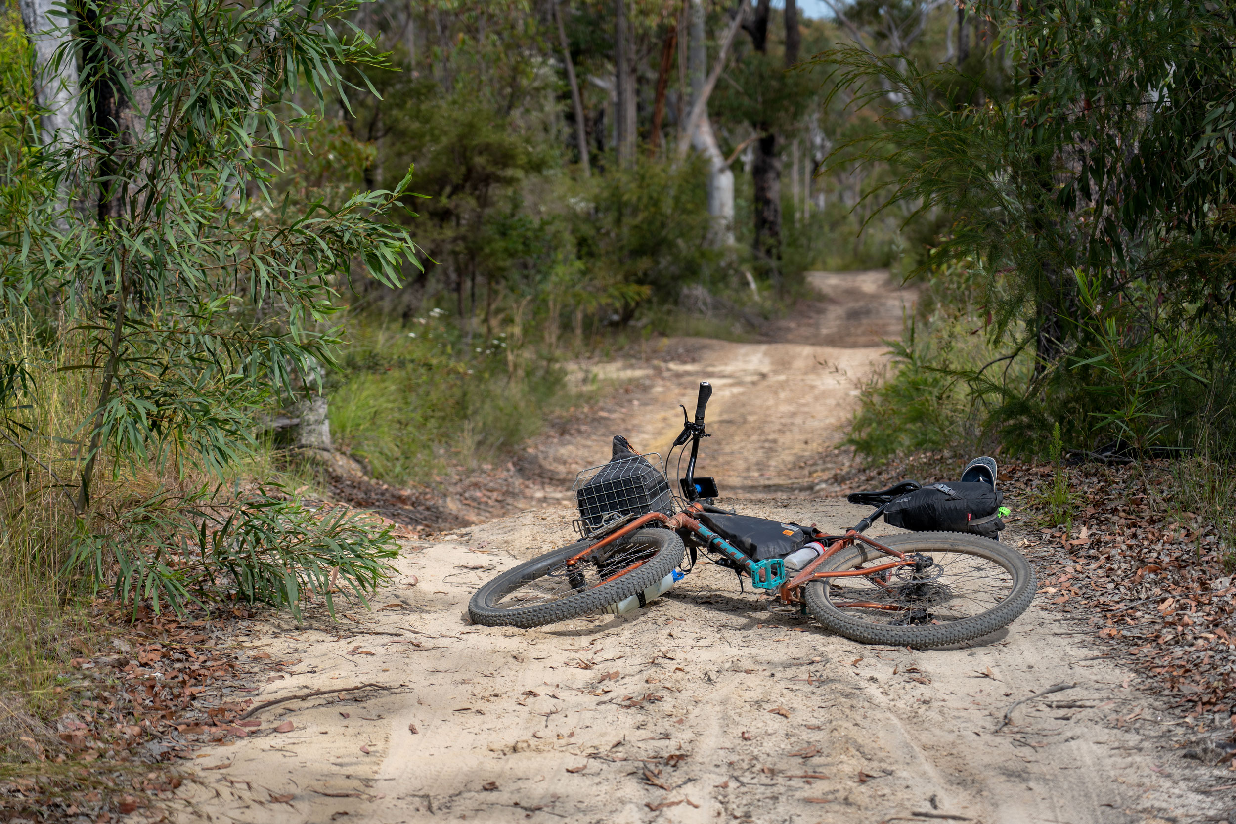
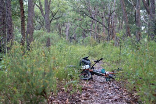
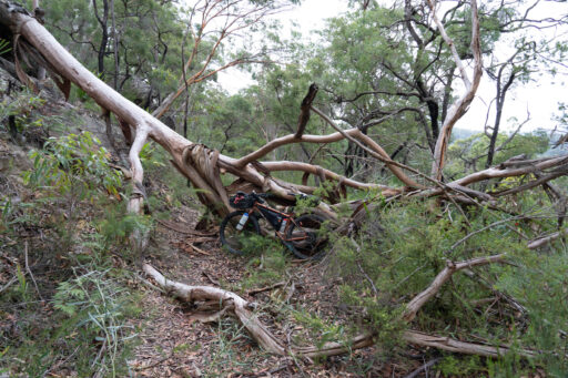
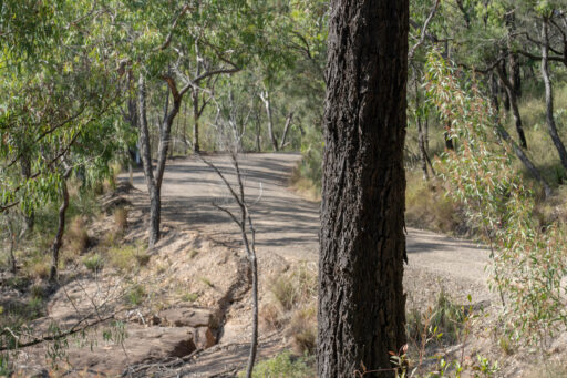
- Riding the Old Great North Road is a fun adventure through rough, remote and gorgeous country. You might not meet another person all day, so make sure your repair kit is stocked.
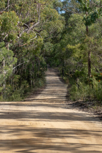
- The dirt roads through Yengo National Park and Parr State Conservation Area are blissful forest riding.
- The Settlers Arms Inn in the village of St. Albans is an institution. Built in 1836 of convict-hewn sandstone, the building is lovely and the garden is a rightly popular place for a beer on a weekend afternoon.
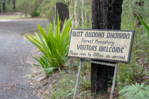
- Ten Mile Hollow campground makes an excellent campsite along the OGNR. The Buddhist retreat Wat Buddha Dhamma is just down the road, and often has programming on if you’re keen for a visit.
- When to go: As explored in Ali Jones’s excellent piece, summer bikepacking in Australia is an increasingly fraught business. Extreme heat and the possibility of bushfires mean that autumn through spring (roughly April – November) are now the safest times to plan a trip.
- Logistics: Access is from Windsor Station, about one hour on a direct train from Sydney Central Station.
- Dangers and Annoyances: The Old Great North Road section is rough and remote. Have a well-stocked repair kit and a plan to deal with injury or accident before you set off.
- Travel basics: Most of the route can be easily ridden on a gravel bike, but the OGNR section is mountain bike-only territory. 2.4” or greater tires are strongly recommended.
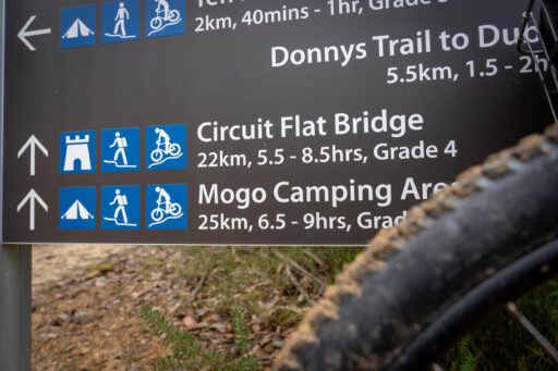
- There are official campgrounds at Ten Mile Hollow along the OGNR and at Mogo campground at the top of the OGNR.
- Camping is also typically permitted near the Settlers Arms Inn in St. Albans.
- Mill Creek Campground, a short detour off the route across the river from Wisemans Ferry, also makes a good overnight stop.
- Book all official National Park campgrounds ahead online.
- Elsewhere, within NSW national parks, camping is generally permitted where not expressly prohibited. Leave no trace.
- There are restaurants and shops selling food in Wisemans Ferry midway along the route.
- Tank water is usually available at Mogo campground, Ten Mile Hollow campground and Wat Buddha Dhamma nearby.
- Clear-flowing surface water may be available at a handful of places along the Old Great North Road (weather dependent).
- The Settlers Arms Inn in St Albans offers pub meals (Weds-Sun).
Section 1: Windsor to Wisemans Ferry
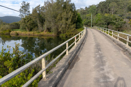
From Windsor Station, mostly quiet roads lead out of town and onward to the Sackville Ferry – the first of your many crossings of the Hawkesbury and its tributaries. Look to the ferry operator for instructions about where and when to wheel your bike on and off. On the other side of the ferry, climb over the hill as you join River Road beside the Hawkesbury. Cross the river again on the Lower Portland ferry, then climb into Parr State Conservation area on reasonably good quality dirt roads. Descend back to the river, then cross at Webb’s Creek Ferry to the small town of Wisemans Ferry.
Section 2: Wisemans Ferry to Mogo on the Old Great North Road
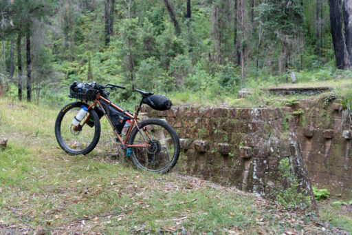
Wisemans Ferry sits on a narrow peninsula of land surrounded by a sharp bend in the Hawkesbury. Wisemans is on tank water, so it can be tough finding a free place to fill up on water, but the town has a small grocery, chemist, bottle shop and pub for all of your provisioning needs. When you’re ready, head on down the hill and cross the river on the eponymous Wisemans Ferry. The start of the Old Great North Road begins just to the left at the bottom of Devines Hill. The long, vehicle-free dirt climb is well graded, and it’s worth stopping to read the interpretive signage scattered along this section, known as The Convict Trail. From the top of Devines Hill, you’re onto the Old Great North Road proper. It’s approximately 16km on rough, rocky, sandy and overgrown track to Ten Mile Hollow, where there’s a campground with a toilet and water tank, and the nearby Buddhist monastery of Wat Buddha Dhamma. Continuing on past the foundations of Clares Bridge, you’re onto the most remote and wild section of the trail, which runs for approximately 25 further km on frequently very rough track to Wollombi Road near Mogo campground, where there is a toilet and water tank.
Section 3: Mogo to Windsor
From Mogo campground, the route leads downhill through the national park on the quiet dirt of Wollombi Road. Near the bottom of the hill it joins Mogo Creek and eventually the Macdonald River as it flows toward the Hawkesbury. Passing through flat, open grazing land, the road winds toward the village of St Albans and the fantastically quirky Settlers Arms Inn, where it’s practically obligatory to stop for a drink or a meal. From St Albans, cross the bridge and continue south on the quiet, paved St Albans Road. 20km later, you’re back onto dirt roads and retracing your steps through Parr State Conservation area, and back to Windsor.
Terms of Use: As with each bikepacking route guide published on BIKEPACKING.com, should you choose to cycle this route, do so at your own risk. Prior to setting out check current local weather, conditions, and land/road closures. While riding, obey all public and private land use restrictions and rules, carry proper safety and navigational equipment, and of course, follow the #leavenotrace guidelines. The information found herein is simply a planning resource to be used as a point of inspiration in conjunction with your own due-diligence. In spite of the fact that this route, associated GPS track (GPX and maps), and all route guidelines were prepared under diligent research by the specified contributor and/or contributors, the accuracy of such and judgement of the author is not guaranteed. BIKEPACKING.com LLC, its partners, associates, and contributors are in no way liable for personal injury, damage to personal property, or any other such situation that might happen to individual riders cycling or following this route.
Please keep the conversation civil, constructive, and inclusive, or your comment will be removed.


