Cycling Nyika National Park, Malawi
Distance
141 Mi.
(227 KM)Days
3
% Unpaved
100%
% Singletrack
0%
% Rideable (time)
100%
Total Ascent
10,432'
(3,180 M)High Point
7,842'
(2,390 M)Difficulty (1-10)
9?
- 5Climbing Scale Moderate74 FT/MI (14 M/KM)
- -Technical Difficulty
- -Physical Demand
- -Resupply & Logistics
Contributed By

Logan Watts
Pedaling Nowhere
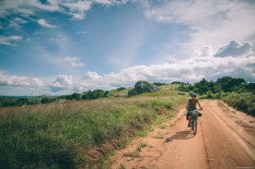
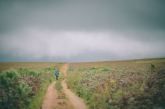
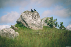
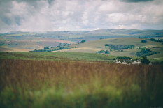
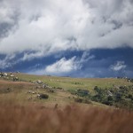
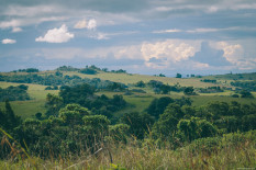
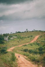
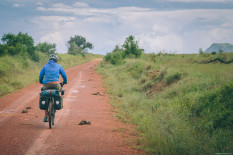
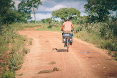
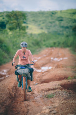
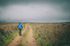
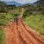
The word Nyika is Swahili for hinterland, and I’d say it was a fine choice of a name. It is extremely isolated. The one ‘road’ that gets you to the gate continues to skirt the western edge of the park bordering Zambia and climbs through highland forests teeming with birdlife and herds of elephant. The road is only passable with a solid 4×4 or, better yet, a solid bicycle. The majority of Nyika lies on a stunning montane grassland plateau at over 2,500 meters above sea level, and the brutal climb up to the Chelinda camping area made even that number seem underestimated.
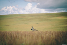
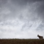
Though the landscape is magical in itself, and certainly worth the pilgrimage, the wildlife is why most people visit. In addition to the animals mentioned above, the park boasts a large population of leopard, hyena, and jackal. Our Malawi guidebook (published 2012) states that cycling is permitted in Nyika. It also mentioned that the Malawi National Park Service is planning to reintroduce lions within the 3,000 square kilometer park in 2013 (obviously that didn’t happen). Most people think the reintroduction will likely not happen, so long live the opportunity to cycle a national park.
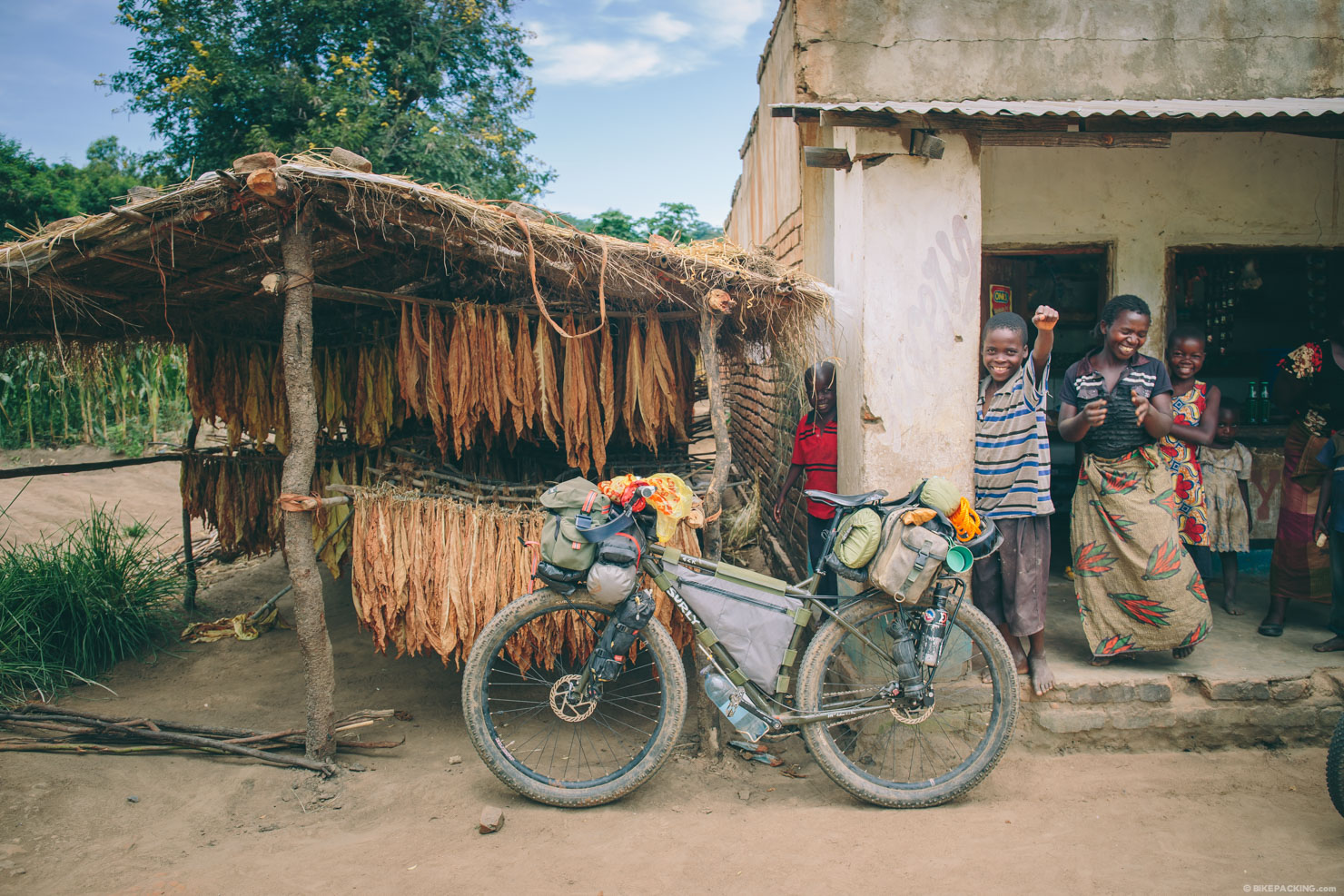
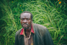
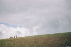
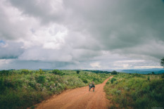
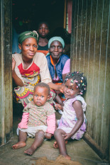
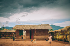
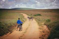
Note that this route should not be taken lightly. Make sure to read the Must Know area below. The main image above was taken prior to entering the park. The family shown was singing and dancing a song that was based on us getting trampled by elephants. :)
Submit Route Alert
As the leading creator and publisher of bikepacking routes, BIKEPACKING.com endeavors to maintain, improve, and advocate for our growing network of bikepacking routes all over the world. As such, our editorial team, route creators, and Route Stewards serve as mediators for route improvements and opportunities for connectivity, conservation, and community growth around these routes. To facilitate these efforts, we rely on our Bikepacking Collective and the greater bikepacking community to call attention to critical issues and opportunities that are discovered while riding these routes. If you have a vital issue or opportunity regarding this route that pertains to one of the subjects below, please let us know:
Highlights
Must Know
Camping
Food/H2O
Trail Notes
- The chance to do a bike safari directly from Chelinda camp… one of the few places in Africa where this is prohibited.
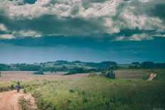
- A truly amazing landscape that’s reminiscent of the Scottish highlands.
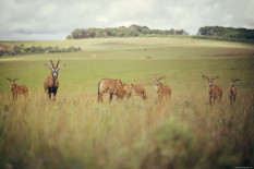
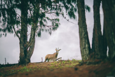
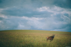
- Roan antelope which are a bizarre and interesting animal, fairly unique to Nyika.
- WARNING, THIS ROUTE IS NOT TO BE TAKEN LIGHTLY. In the forested areas in the first 20 or 30 kilometers inside the park gate there is a healthy population of elephant. Elephants can be extremely aggressive toward cyclists. It is rumored that there is a collared male in the area who has been known to charge cars. Speak with the park attendant or guides before setting out.
- The best time to visit Malawi is during the dry season from May through November.
- During May, June, and July the vegetation is green and lush.
- In Rumphi, stay at Mkhotakota Village. They offer camping and good, inexpensive meals.
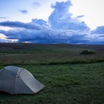
- At the gate, the ranger will allow you to camp right inside the park boundary.
- Once on the plateau, you can camp in the designated campground with wood-fired water heaters and free firewood for $15 per person. Also, they offer a free laundry service.
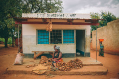
- At the park boundary, there are some small stores around where you can buy basic food and drink. Also, the ranger makes nice roasted peanuts!
- There is some food available at the Chelinda Lodge, but it is very expensive as they have it airlifted in. Make sure to carry enough food for your stay.
Other options
There are bigger loops you can do in the park; look at OpenCycle map layer to see some options.
There’s also a hiking trail that drops into Livingstonia. We have spoken with cyclists who’ve don’t it, and in hindsight, that’s the route we’d have taken. Consider it if you are up for adventure.
Terms of Use: As with each bikepacking route guide published on BIKEPACKING.com, should you choose to cycle this route, do so at your own risk. Prior to setting out check current local weather, conditions, and land/road closures. While riding, obey all public and private land use restrictions and rules, carry proper safety and navigational equipment, and of course, follow the #leavenotrace guidelines. The information found herein is simply a planning resource to be used as a point of inspiration in conjunction with your own due-diligence. In spite of the fact that this route, associated GPS track (GPX and maps), and all route guidelines were prepared under diligent research by the specified contributor and/or contributors, the accuracy of such and judgement of the author is not guaranteed. BIKEPACKING.com LLC, its partners, associates, and contributors are in no way liable for personal injury, damage to personal property, or any other such situation that might happen to individual riders cycling or following this route.
Please keep the conversation civil, constructive, and inclusive, or your comment will be removed.


