Western Cape Passes Epic, Bikepacking South Africa
Distance
473 Mi.
(761 KM)Days
9
% Unpaved
81%
% Singletrack
0%
% Rideable (time)
100%
Total Ascent
39,200'
(11,948 M)High Point
5,000'
(1,524 M)Difficulty (1-10)
7?
- 5Climbing Scale Moderate83 FT/MI (16 M/KM)
- -Technical Difficulty
- -Physical Demand
- -Resupply & Logistics
Contributed By

Logan Watts
Pedaling Nowhere
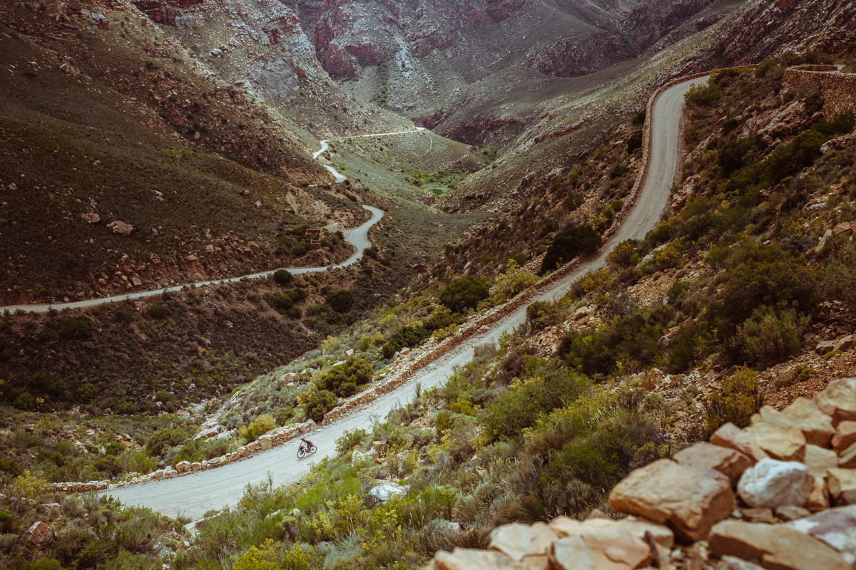
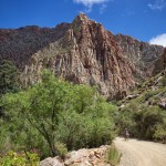
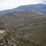
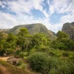
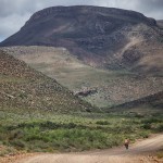
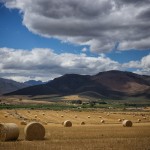
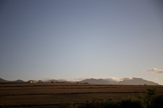
If there is a country that deserves the term epic in its description, it’s South Africa. Western Cape, the fourth largest of nine provinces, possesses a wealth of dirt and gravel riding options across a diverse, rugged, and beautiful landscape.
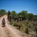
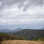
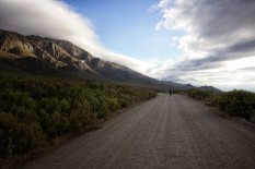
The Western Cape is all but covered in sharp mountain ranges such as the Swartberg, Langeberg and Cedarberg. The pioneers of South Africa breached these mountains and developed routes that would help expand the farming trade and push the frontiers of the country via wagon and foot travel. As a result there are almost 500 beautifully carved gateways that carry travelers through majestic landscapes and provide links to sometimes vastly different ecosystems. These are ports and passes.
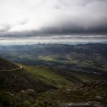
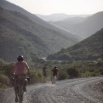
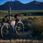
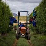
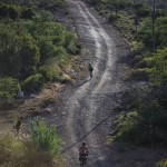
As we pedaled out of the reach of Cape Town the first thing that stood out was the how vast everything seemed. The second thing that took us by surprise was the friendliness and cordiality of the South Africans. We were consistently stopped and asked where we were from, and where we were going. Some conversations led to a dinner invitation, and even a night of accommodation. But nine out of ten conversations led to people suggesting places to see, and roads we should travel. So after twenty-something recommendations we cobbled together a route that was mostly off-pavement and took us through countless passes and poorts, and in turn, through some of the most beautiful places I’ve been.
Submit Route Alert
As the leading creator and publisher of bikepacking routes, BIKEPACKING.com endeavors to maintain, improve, and advocate for our growing network of bikepacking routes all over the world. As such, our editorial team, route creators, and Route Stewards serve as mediators for route improvements and opportunities for connectivity, conservation, and community growth around these routes. To facilitate these efforts, we rely on our Bikepacking Collective and the greater bikepacking community to call attention to critical issues and opportunities that are discovered while riding these routes. If you have a vital issue or opportunity regarding this route that pertains to one of the subjects below, please let us know:
Highlights
Must Know
Camping
Food/H2O
- Swartberg Pass is a must
- Quaint little towns of the Klien Karoo
- The warmth of the South African people
- Meeting fellow mountain bikers along the way
- This part of South Africa can be incredibly hot in the summer (December to March). We were there in December and there were days when it reached up to 110 F. We would have to start riding pre-dawn and stop before noon during the week long heat wave.
- Spring (mid-September to November) and autumn (April and May) are the ideal times to visit.
- Keep in mind is the Baviaanskloof Conservation Area… the rules change occasionally, but at the time of this writing, passing through on a bike is prohibited without the aid of a support vehicle. There are ways around this, such as asking a pads sing truck to act as your support vehicle. However, be prepared to be stopped, and potentially have your plans delayed or derailed. The reason is that the conservation area has a small population of Cape Buffalo, which are considered dangerous and have been known to charge pedestrians and cyclists. This should not be underestimated.
- You’d be hard pressed to not find a place to set up camp. Just ask a local farmer… more than likely you’ll be treated to a dinner and a bedroom!
- There are a few ‘backpackers’ (equivalent to a hostel in the western world) in larger towns; also a couple campgrounds here and there.
- Water can be a bit tricky in some of the dryer areas of the Klein Karoo (the desert area north of the Cape Fold); again, just ask a farmer if need be.
- There are stores here and there… usually in small towns; it’s easy to find simple sundries as well as Denatured alcohol for cooking on a Trangia or can stove.
Terms of Use: As with each bikepacking route guide published on BIKEPACKING.com, should you choose to cycle this route, do so at your own risk. Prior to setting out check current local weather, conditions, and land/road closures. While riding, obey all public and private land use restrictions and rules, carry proper safety and navigational equipment, and of course, follow the #leavenotrace guidelines. The information found herein is simply a planning resource to be used as a point of inspiration in conjunction with your own due-diligence. In spite of the fact that this route, associated GPS track (GPX and maps), and all route guidelines were prepared under diligent research by the specified contributor and/or contributors, the accuracy of such and judgement of the author is not guaranteed. BIKEPACKING.com LLC, its partners, associates, and contributors are in no way liable for personal injury, damage to personal property, or any other such situation that might happen to individual riders cycling or following this route.
Please keep the conversation civil, constructive, and inclusive, or your comment will be removed.


