Campari Long Ride
Distance
69 Mi.
(111 KM)Days
2
% Unpaved
50%
% Singletrack
3%
% Rideable (time)
99%
Total Ascent
7,396'
(2,254 M)High Point
4,080'
(1,244 M)Difficulty (1-10)
6?
- 7Climbing Scale Strenuous107 FT/MI (20 M/KM)
- 5Technical Difficulty Moderate
- 7Physical Demand Difficult
- 3Resupply & Logistics Fair
Contributed By
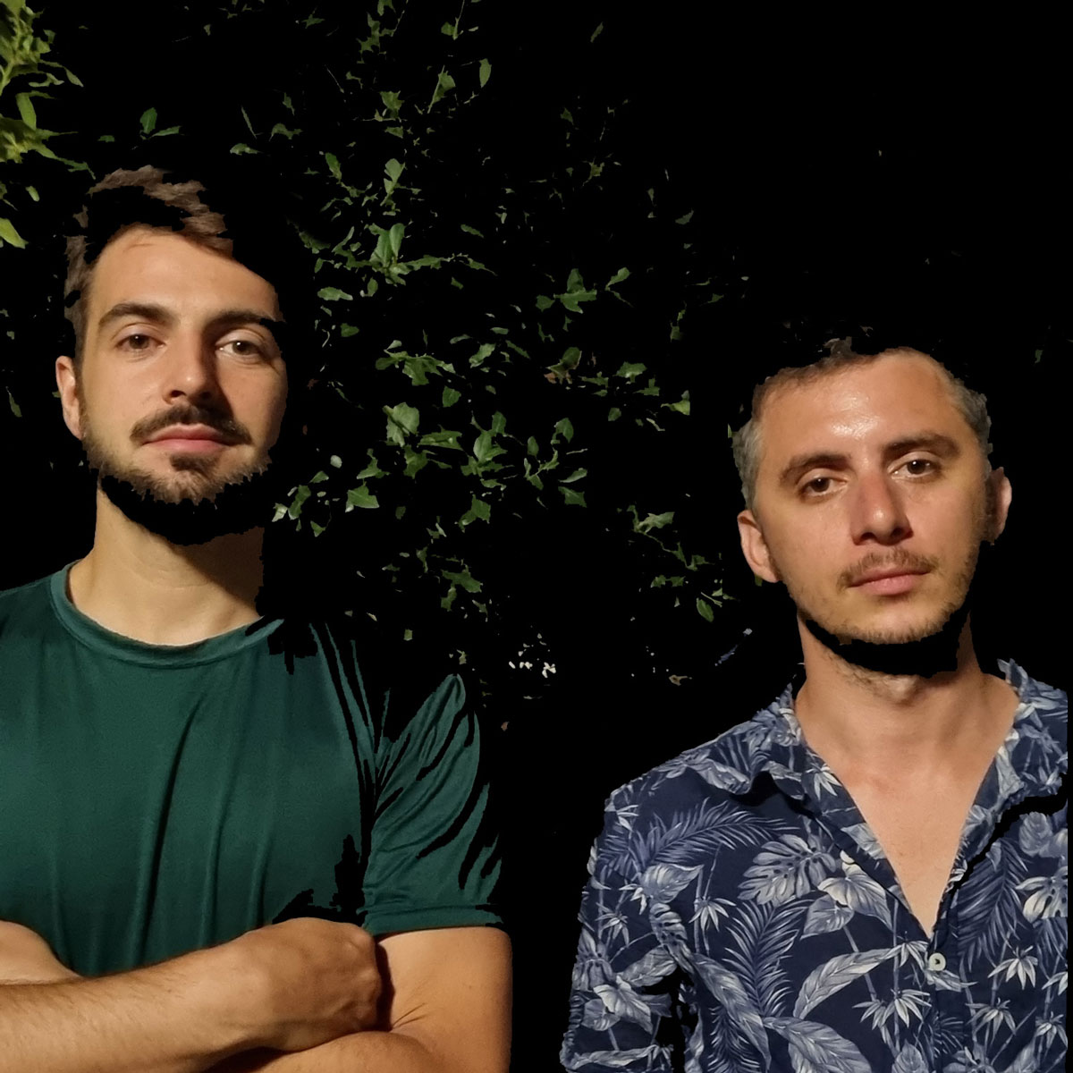
Giovanni Zati and Fabio Fiorillo
Guest Contributor
Giovanni Zati and Fabio Fiorillo are two bike enthusiasts with a deep interest in the history and their local mountains. In 2020, they conceived Strade Montane, a cycling project based in Bologna, Italy, that aims to discover the North Apennines through the paths, gravel, dirt, and secondary roads that run through the Italian mountains between the regions of Emilia-Romagna and Tuscany. Find more on their website and follow them on Instagram @strademontane.
Photos by Giuseppe Giuliano / WOK Photography
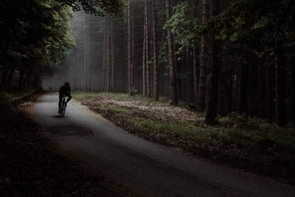
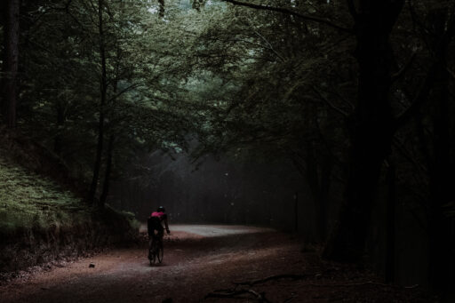
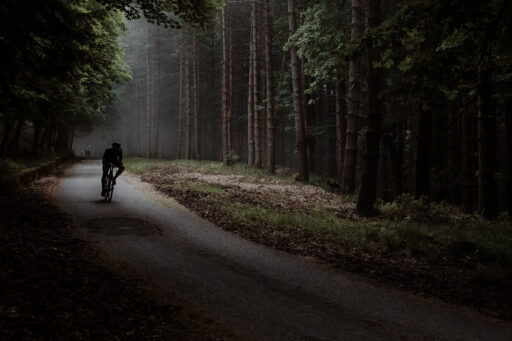
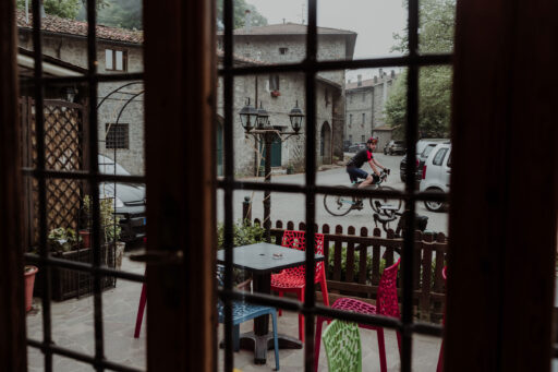
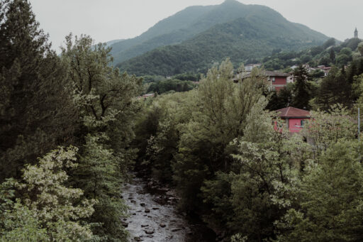
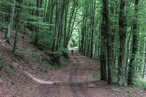
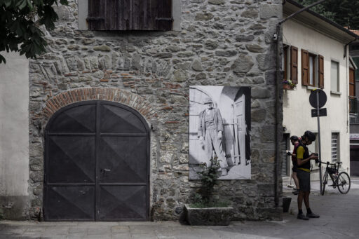
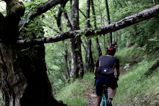
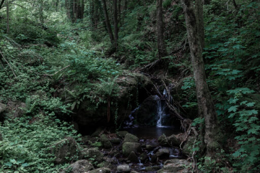
Campari Long Ride starts from Alto Reno Terme, one of the largest towns in the Bolognese Apennines, known for its thermal springs that have been around since the Roman Empire. The route starts by rolling through the Art Nouveau-style buildings of Porretta before crossing the beautiful Suviana Lake Regional Park, preparing riders for the climb up to Torri, a stone village dating to before the year 1000. Following roads engulfed by beech and chestnut trees, there are several places to encounter traditional Celtic stone masks: ancient shapes with a human face carved on the walls that drive away the evil spirits.
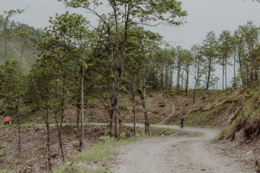
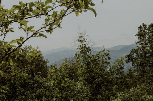
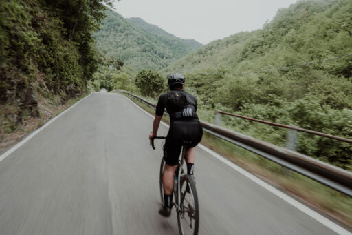
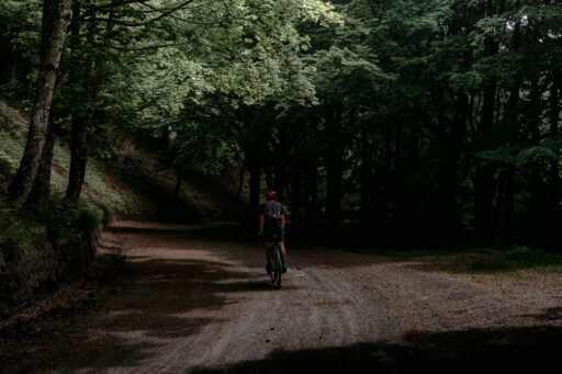
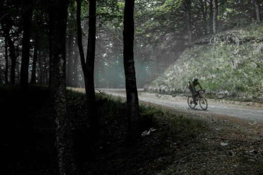
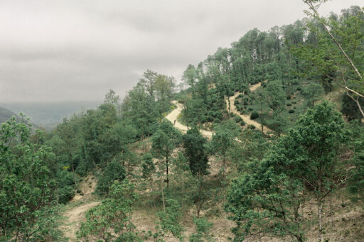
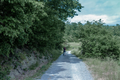
From there, the route crosses the beautiful ridge of Mount Calvario with a great view over the mountains just before Collina Pass, where Hannibal passed during the Second Punic War along with his infamous elephants. This is one the coolest sections of the route, which runs along a smooth gravel forestry road over the ridge.
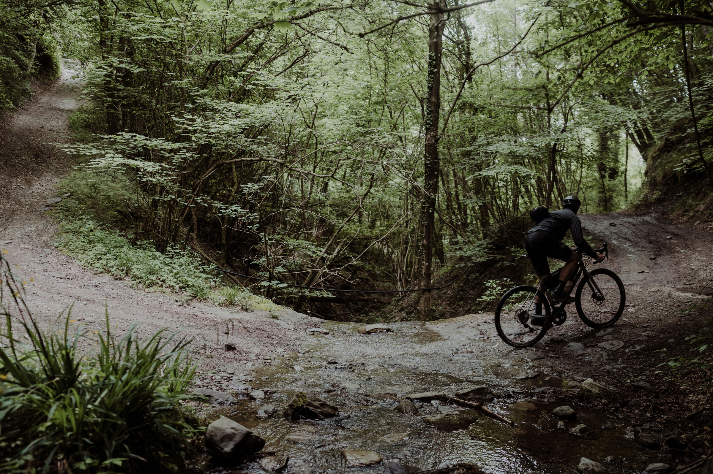
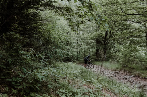
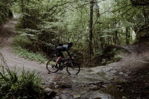
These first 40 kilometers pack in most of the elevation gain for the entire route with various ups and downs on mixed terrain, interspersed with long sections of compact dirt roads and singletrack with some moderately difficult technical sections.
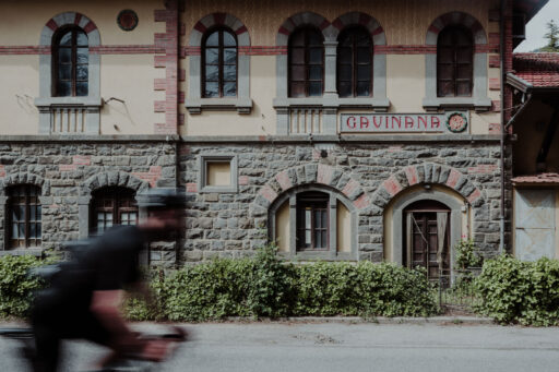
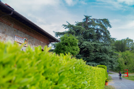
Next, the route uses the last gravel section on the F.A.P. (Ferrovie Alto Pistoiese) bike route. The former railway built in 1926 is now a gravel road that will bring you to the old Art Nouveau train station. The road has many panoramic viewpoints, and the climb is followed by a fun descent after crossing Oppio Pass.
From Pracchia, the route approaches the border with Emilia via one of the most fascinating local roads in a deep and narrow valley that’s linked to the history of the first trans-Apennine railway in Italy. It was also the former border between the Granducato of Tuscany and the Papal States. Molino del Pallone is the last push before the end. During the summer, you can enjoy the local Molino Beach and relax in the cool waters of the Reno river while sipping a worthy farewell Campari.
Route Difficulty
We assigned the route a 6 out of 10 difficulty rating. It includes a few technical sections, and there are quite a few ups and downs for the first 50% of the route, whereas the second part is quite easy. For gravel cyclists, we suggest 650B x 45mm tires and at least a 1:1 gear ratio, although an XC mountain bike is always a good choice. The route is rideable in under 24 hours, but if that’s beyond your capabilities, you could potentially stretch the route out over two days.
Route Development: This route is part of vol.I of our Strade Montane project. Each volume consists of four routes joined together by a specific topic or focus area. In volume one, we explore our mountain side in the Reno River Valley in the North Apennines.
 This route is part of the Local Overnighter Project, which was created to expand our growing list of worldwide bikepacking routes—the first and largest of its kind—and create an independent map and catalog of great bikepacking overnighters, curated by you, from your own backyard. Our goal is to have accessible routes from every town and city in the world. Learn More
Submit Route Alert
As the leading creator and publisher of bikepacking routes, BIKEPACKING.com endeavors to maintain, improve, and advocate for our growing network of bikepacking routes all over the world. As such, our editorial team, route creators, and Route Stewards serve as mediators for route improvements and opportunities for connectivity, conservation, and community growth around these routes. To facilitate these efforts, we rely on our Bikepacking Collective and the greater bikepacking community to call attention to critical issues and opportunities that are discovered while riding these routes. If you have a vital issue or opportunity regarding this route that pertains to one of the subjects below, please let us know:
Highlights
Must Know
Camping
Food/H2O
- Enjoy the town of Porretta Terme and its thermal springs before or after your ride. Find more here.
- Take a quick break at Suviana Lake surrounded by green mountains.
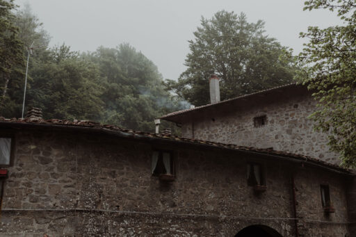
- Discover the Torri hamlet, which was built in the medieval era.
- Le Piastre hamlet, a beautiful village that hosts the Championship Lie (yeah, really!) each year.
- Have fun on the F.A.P. cycling route and its marvelous gravel roads.
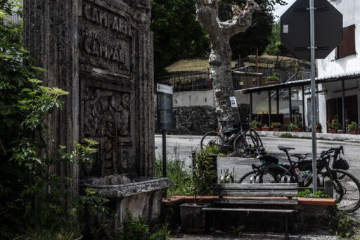
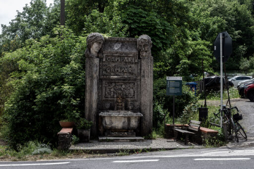
- The Campari Fountain. For those still wondering about the trail name, you will have to wait to see the fountain in Le Piastre. Although only water will come out from it, the Campari Fountain is one of the company’s three remaining fountains in Italy. It was a brilliant advertising campaign that had involved Florentine sculptor Giuseppe Gronchi in the creation of as many as 30 examples scattered throughout Italy in 1930. The promotional purpose united both artistic intent and public utility, finding in the water the way to bring the people closer to its bitter drink.
- Rideable from May until October. Keep in mind that you will be in the mountains, so check the local weather reports to avoid sudden thunderstorms/snowfall in the colder seasons.
- The route starts in Porretta Terme, which is reachable by car from Bologna in 50 minutes or by train + bike thanks to the Bologna-Porretta Terme train line in an hour and 15 minutes.
- Always be respectful to the environment. You will ride in a Regional Protected Park. Follow the Leave No Trace principles.
- Rideability: the route is 99% rideable with very few steep climbs where hike-a-bike might be required.
- Shortcuts: If something goes wrong, you can take the SS66 road from Le Piastre town in order to go back to Porretta Terme. It takes more or less one hour on a smooth descent and it cuts away half of the route.
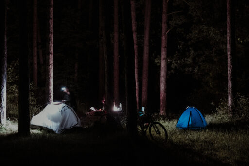
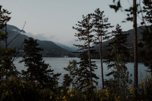
- Wild camping is forbidden, but there are two campsites nearby the Suviana Lake that are open from June to September.
- The Porretta Terme area is also a well-known tourist destination with several hotels around.
- Half-way through the route, there are two options for camping. Each one has a bar nearby, so you can taste the local food, which is a mix between the Emilian and Tuscany tradition.
- If you want to spend two days on the route, we suggest you stop in the Prunetta area, where you can spend a night in the beautiful beech woods.
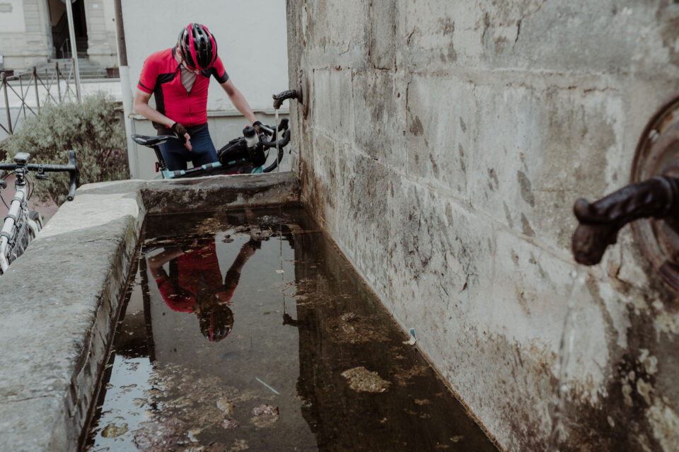
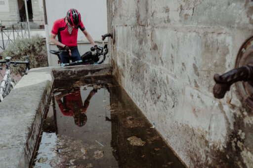
- Water will never be a problem as there are plenty of fountains along the route.
- It is recommended to stock up on food supplies at the starting point in Porretta Terme if you want to ride the route in a single day.
- You will pass through many small towns where there are always bars or restaurants if you want to take a longer break.
- We suggest the Chiosco del Lago in the Suviana Lake for tasting one of the best tigella we’ve ever had, enjoying the stunning panorama before the climb.
- At the end of the first off-road descent, more on less after 45 kilometers, we suggest “Il Circolino gli amici di Spedaletto” for a longer break.
- Spedaletto is a gorgeous medieval village that’s perfectly preserved. It’s highly recommended to stop here for a beer or a glass of wine and enjoy the surroundings. The water from the fountain in the main square is cold as ice!
Terms of Use: As with each bikepacking route guide published on BIKEPACKING.com, should you choose to cycle this route, do so at your own risk. Prior to setting out check current local weather, conditions, and land/road closures. While riding, obey all public and private land use restrictions and rules, carry proper safety and navigational equipment, and of course, follow the #leavenotrace guidelines. The information found herein is simply a planning resource to be used as a point of inspiration in conjunction with your own due-diligence. In spite of the fact that this route, associated GPS track (GPX and maps), and all route guidelines were prepared under diligent research by the specified contributor and/or contributors, the accuracy of such and judgement of the author is not guaranteed. BIKEPACKING.com LLC, its partners, associates, and contributors are in no way liable for personal injury, damage to personal property, or any other such situation that might happen to individual riders cycling or following this route.
Please keep the conversation civil, constructive, and inclusive, or your comment will be removed.


