Bikepacking Slovenia: The West Loop
Distance
260 Mi.
(418 KM)Days
6-8
% Unpaved
75%
% Singletrack
5%
% Rideable (time)
99%
Total Ascent
29,367'
(8,951 M)High Point
5,545'
(1,690 M)Difficulty (1-10)
6.5?
- 7Climbing Scale Strenuous113 FT/MI (21 M/KM)
- -Technical Difficulty
- -Physical Demand
- -Resupply & Logistics
Contributed By
Joe Cruz
Pedaling in Place
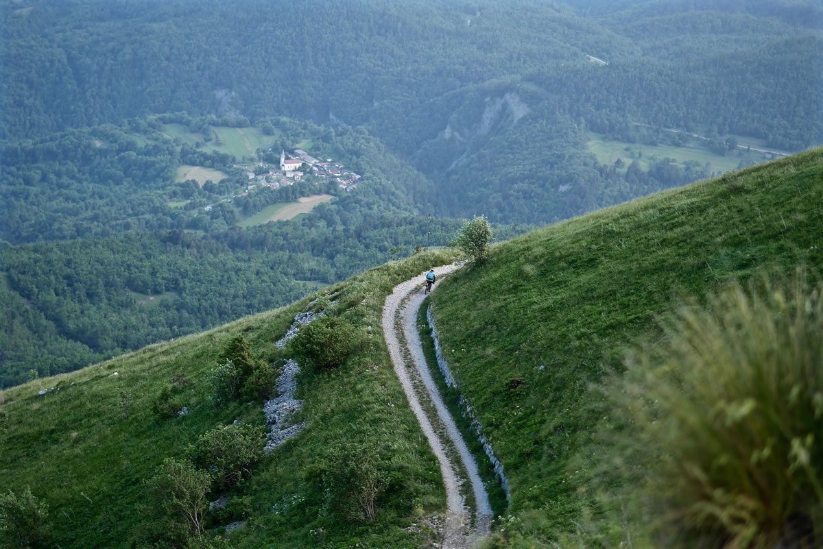
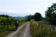
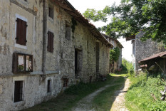
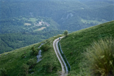
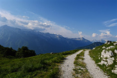
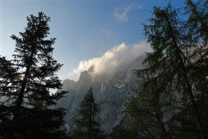
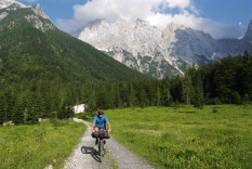
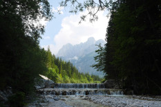
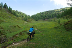
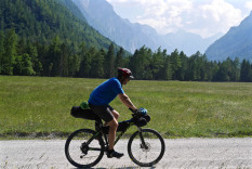
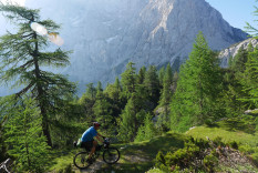
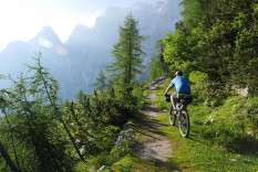
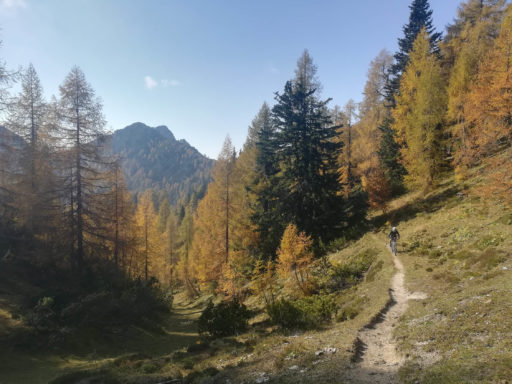
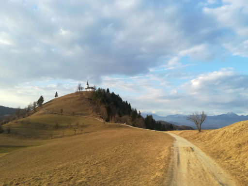
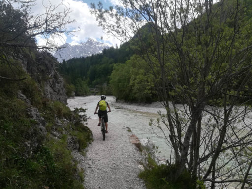
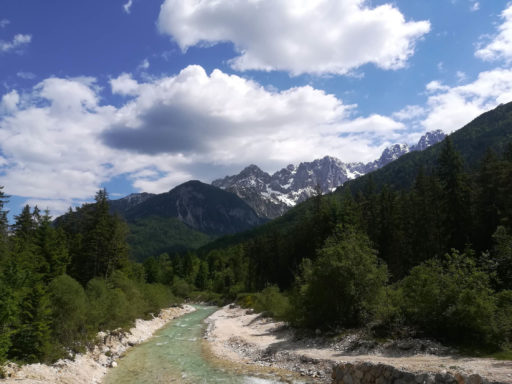
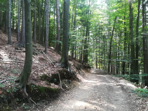
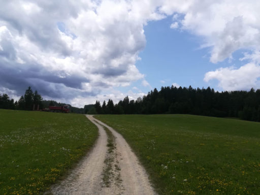
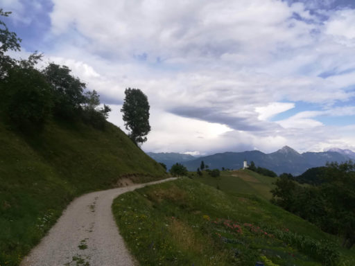
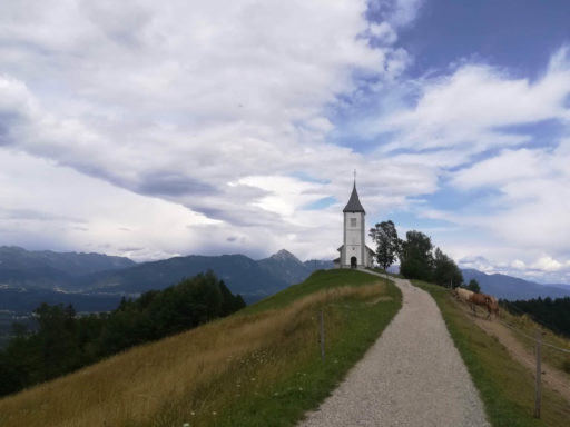
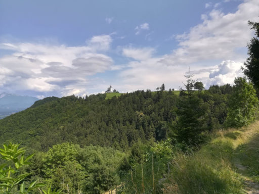
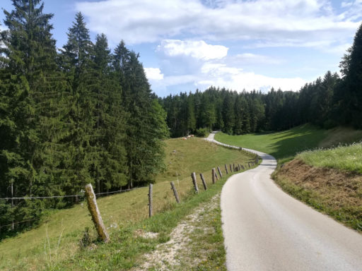
Slovenia is a small country with immense adventure potential in its incredible backcountry and lattice of scenic, remote tracks. Unmissable landscapes soar toward the sky and resolve into poetic valleys, and this mixed terrain loop in the western half has it all: rugged jeep roads, alpine ridge singletrack, abundant WWI history, castles, long rolling dirt sections, cobbled switchback climbs, quaint villages, glinting swimming holes, and a gem of a European capital city. There are sections along the Soča River and a brief foray into Italy. The asphalt sections are beautiful and pleasant.
Route Development: (Summer 2019)—Many thanks to Marjan Moderc (marjan.moderc@gmail.com) who has led this significant revision and refresh of the Slovenia West Loop, originally created in 2015. We have added more gravel roads, scenic sections in the Soča valley, notable cultural landmarks and other points of interest, and a terrific off-road track on the Kolovrat Ridge on the Italian border. In all, this has made one of my favorite bikepacking loops even better.
Submit Route Alert
As the leading creator and publisher of bikepacking routes, BIKEPACKING.com endeavors to maintain, improve, and advocate for our growing network of bikepacking routes all over the world. As such, our editorial team, route creators, and Route Stewards serve as mediators for route improvements and opportunities for connectivity, conservation, and community growth around these routes. To facilitate these efforts, we rely on our Bikepacking Collective and the greater bikepacking community to call attention to critical issues and opportunities that are discovered while riding these routes. If you have a vital issue or opportunity regarding this route that pertains to one of the subjects below, please let us know:
Highlights
Must Know
Camping
Food/H2O
- Ljubljana—the capital of Slovenia and starting point for the route—is pleasant and charming, well worth spending a day or more in.
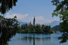
- Lake Bled is a jewel of the region.
- Ride through Triglav National Park, in the shadow of Mt. Triglav, the highest peak in the Julian Alps.
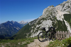
- Go over Vršič Pass on the fascinating old WWI road, with the remains of bunkers, tunnels, and gun emplacements all around.
- Turquoise water swimming holes.
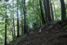
- The descent off of Mt. Stol is one of the great gravel descents anywhere. The ascent that got you there, through a tunnel of trees, is also notable.
- Unmistakable rhythms of Italy near the border, and food and wine to match.
- Amazing limestone caves at Rakova kotlina pri Rakeku.
- The best time of year for this route is usually late May through early September. Earlier and later risks encountering snow at the higher elevations.
- The ideal bicycle will be a hardtail mtb or a capable gravel bike with 38mm+ tires. A traditional touring bike will sometimes be overwhelmed.
- This route can be done clockwise or counterclockwise but counterclockwise is how it was created.
- A perfect landscape and track for a couple or a group with riders of different experience levels or fitness for bikepacking. Can upscale it by staying in a few hostels instead of camping, or can make it harder by covering more distance. Everyone will be happy.
- Most Slovenians speak excellent English. Adventure sports are very popular, and you will receive advice, encouragement, and help wherever you go.
- Larger towns in Slovenia have well stocked bike shops.
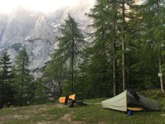
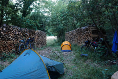
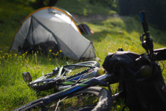
- Wild camping is officially illegal in Slovenia. In practice, we had no trouble finding discreet places to pitch our tents every night of our tour. In fact, locals often encouraged us to do so. Little used dirt and farm roads are abundant. Please #leavenotrace.
- Camp as discreetly as possible around the Nadiža river, the Soča river, and Lake Bled since these areas are patrolled by rangers.
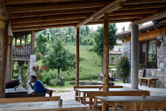
- Food is readily available throughout the tour in small and large towns. We usually carried no more than a meal or two. We often ate dinner in town by getting takeout and eating in the center square. We would then bike a half hour out of town to find camping.
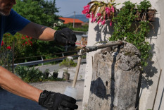
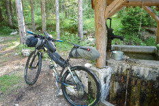
- There are abundant water sources on the route. We were usually able to fill our bottles at a public fountain in the villages we passed through. We carried two bottles each and this was sufficient, even in the heat of summer.
Terms of Use: As with each bikepacking route guide published on BIKEPACKING.com, should you choose to cycle this route, do so at your own risk. Prior to setting out check current local weather, conditions, and land/road closures. While riding, obey all public and private land use restrictions and rules, carry proper safety and navigational equipment, and of course, follow the #leavenotrace guidelines. The information found herein is simply a planning resource to be used as a point of inspiration in conjunction with your own due-diligence. In spite of the fact that this route, associated GPS track (GPX and maps), and all route guidelines were prepared under diligent research by the specified contributor and/or contributors, the accuracy of such and judgement of the author is not guaranteed. BIKEPACKING.com LLC, its partners, associates, and contributors are in no way liable for personal injury, damage to personal property, or any other such situation that might happen to individual riders cycling or following this route.
Please keep the conversation civil, constructive, and inclusive, or your comment will be removed.


