The Baja Divide
Distance
1,673 Mi.
(2,692 KM)Days
42
% Unpaved
95%
% Singletrack
0%
% Rideable (time)
99%
Total Ascent
92,000'
(28,042 M)High Point
4,675'
(1,425 M)Difficulty (1-10)
7.5?
- 4Climbing Scale Fair55 FT/MI (10 M/KM)
- -Technical Difficulty
- -Physical Demand
- -Resupply & Logistics
Contributed By
Nicholas Carman
Gypsy by Trade
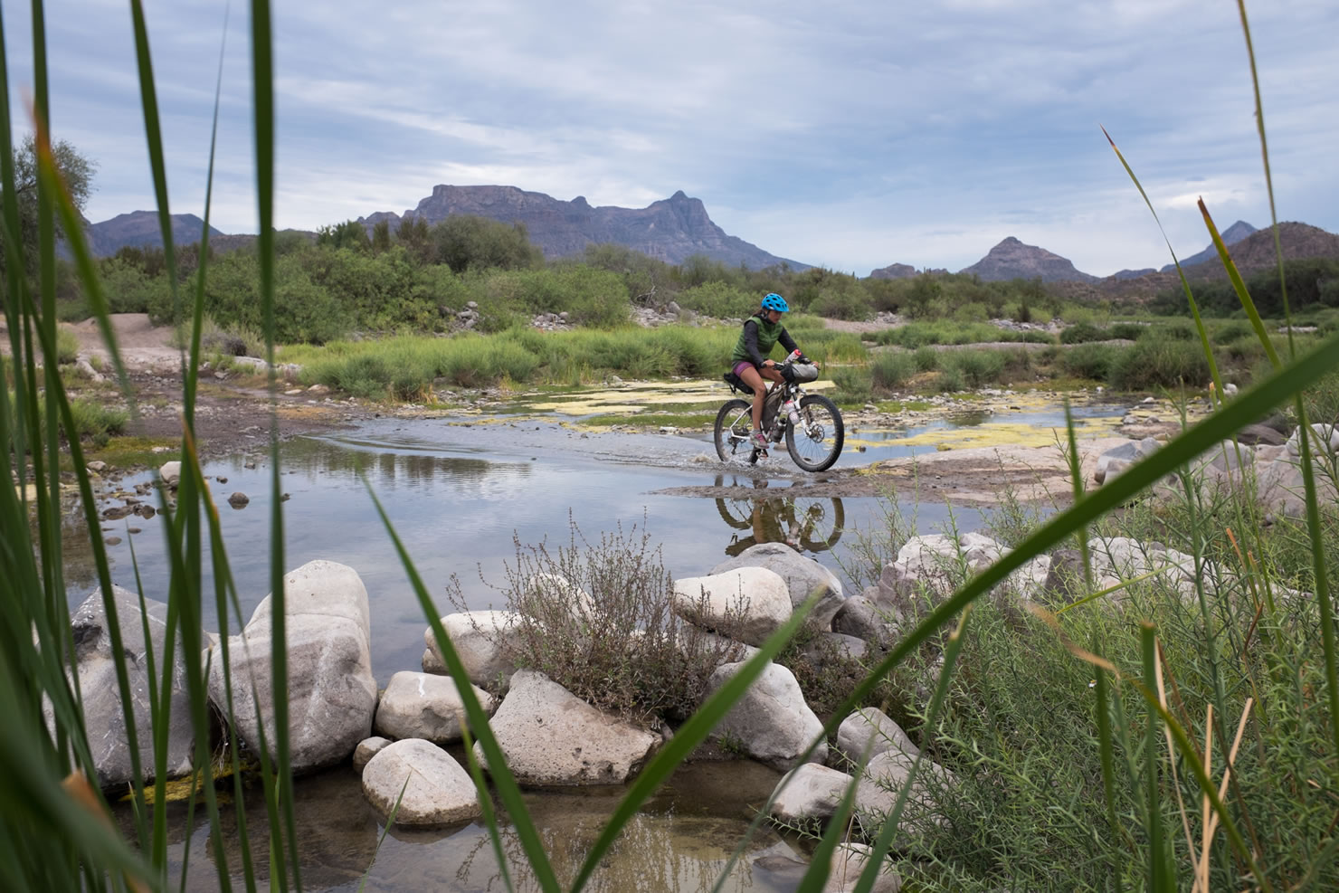
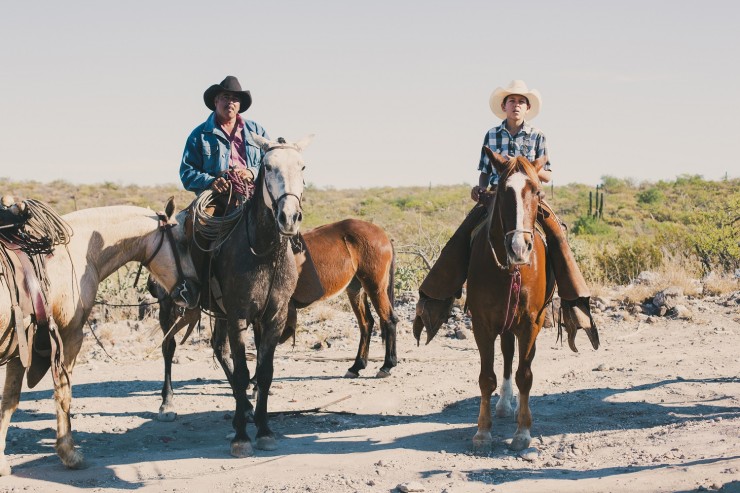
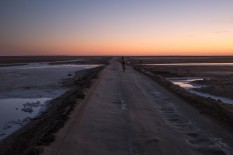
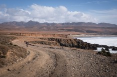
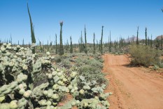
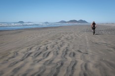
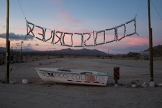
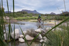
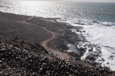
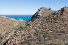
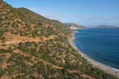
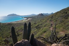
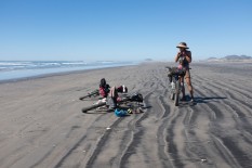
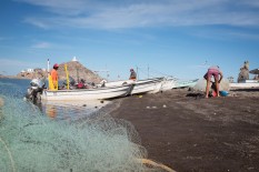
Baja California and the southern state of Baja California Sur are two of the least populated states in Mexico, especially if you exclude the sizable populations near the border in Tijuana and Mexicali. Wide open deserts, rough cut coastlines, and a chance to glimpse what’s left of the wild west make Baja a challenging and delightful place to winter. Aside from the main paved Transpeninsular Highway, MEX1, there are few paved roads in Baja and off-road motorists have been flocking here for decades. If you’ve ever looked at the California coastline in the USA and wished for some undeveloped routes along the water, just look a little further south– there are two undeveloped coastlines in Baja California.
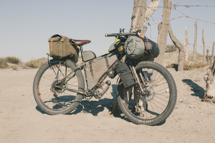
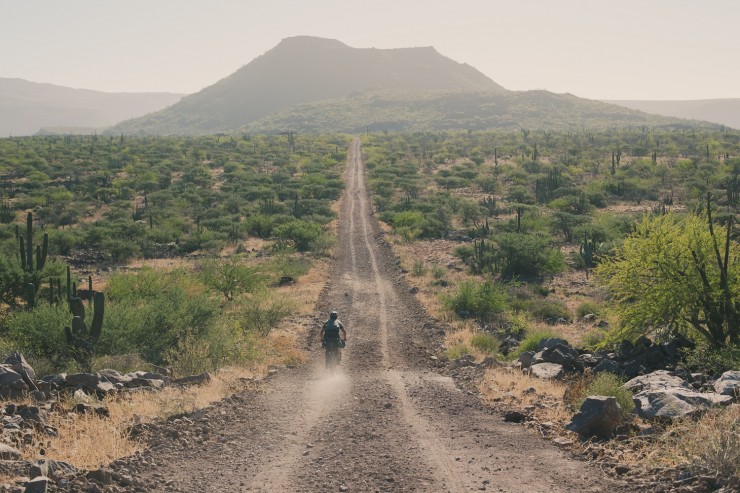
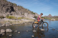
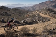
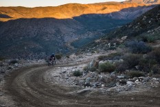
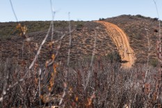
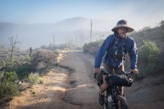
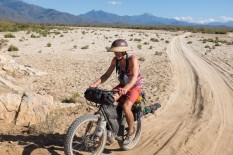
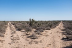
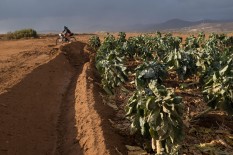
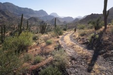
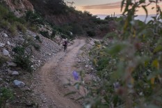
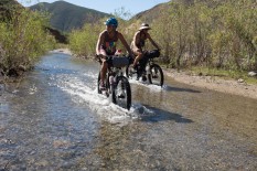
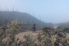
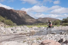
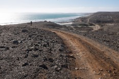
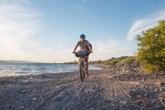
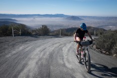
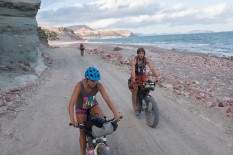
Graded dirt roads are common along well-traveled portions of the route and provide access to some rural fishing communities and ranches, but many parts of the Baja Divide receive infrequent maintenance and are routinely impacted by weather, while some tracks are passable only by a capable 4×4 vehicle, motorcycle, or bicycle. Rough mountain roads and sandy desert tracks are dealt in equal parts along the route. Plus bikes with 3.0” tires are recommended to stay afloat in soft sand, while frequent cactus thorns necessitate a tubeless wheel system.
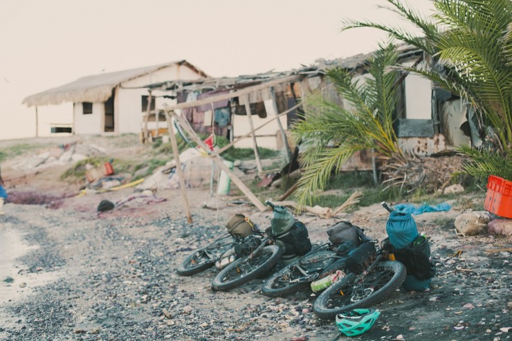
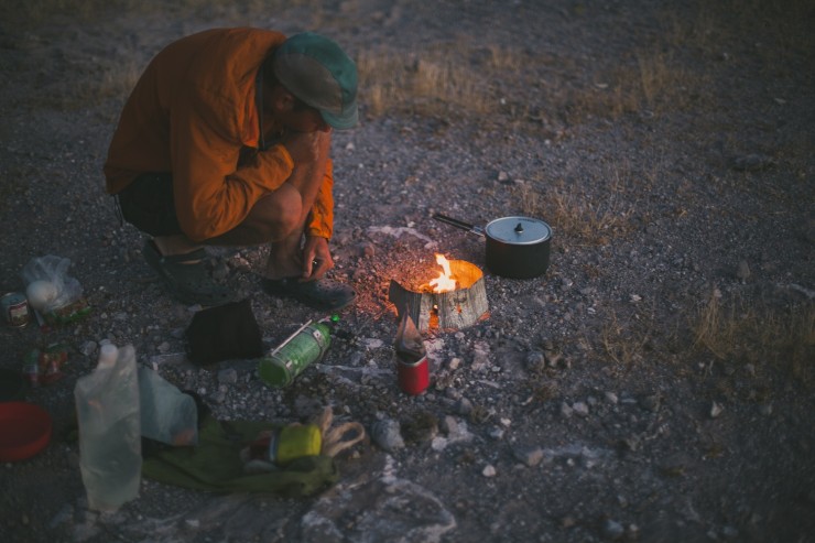
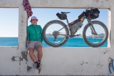
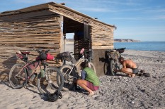
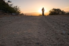
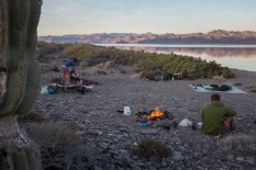
Life on the Baja Divide is defined by a rhythm of riding, camping, and resupply and wild camping is one of the highlights of the route. Resources are limited, although the route is designed to encounter resupply frequently enough to make a self-supported tour possible. Riders may need to carry up to 2-3 days of food and 10-12 liters of water, although a warm, dry climate minimizes equipment needs. Pack light, and leave room for food and water on the bike.
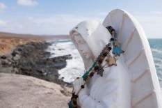
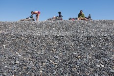
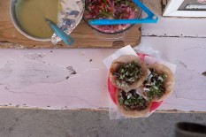
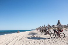
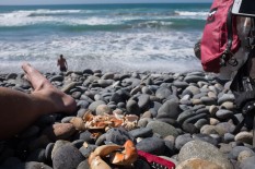
Baja California is a safe place to travel and has welcomed adventurers from around the world for decades. It is not essential that you speak Spanish to travel in Mexico, especially in Baja, although any effort to speak the language will enrich your experience in the country. The route passes a number of busy highway towns– including Colonet, Vincente Guerrero, Vizcaíno, and Ciudad Constitución– that are the best way to investigate modern Mexican life and find delicious tacos and pan dulce. The route also intersects a number of Spanish mission churches, almost always located nearby surface water and shady date palms. Beaches? There are more than a few of those, although some of the best beaches on the route are remote and would require hauling extra food and water if you plan to linger. You’ll be surprised to find cool clear water in some of the mountains, especially in the Sierra de la Giganta.
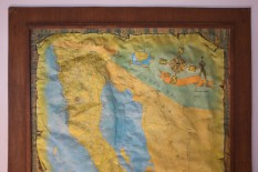
A GPS is required for navigation, as most of the roads and tracks along the route are unnamed and unmarked. Find more information in the sections below. And, The Baja Divide website provides a more thorough route and equipment guide, as well as section narratives, and downloads. The complete route is divided into 20 individual segments, defined by resupply points. Four larger segments– the Northern Sierra, Valle de los Cirios, Missions, and Cape Loop– provide suggestions for digestible portions of the route if time is limited.
For up to date GPX and waypoint downloads, click here.
Highlights
Must Know
Camping
Food/H2O
Trail Notes
Resources
- Miles and miles of beautiful backcountry tracks. Cirios trees, cardon cactus, mountains, canyons, and rugged coastlines.
- The stunning Sea of Cortez, where the desert and the mountains meets the sea.
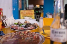
- Bustling highway towns where tacos, ceviche, and fresh pastries are second only to a shower after a week in the desert.
- Spanish mission sites, situated in some of the most beautiful and habitable places on the peninsula.
- The singletrack trails at Cabo Pulmo and La Ventana/El Sargento (off route).
- Winter is the best time to ride in Baja, just as most off-pavement riding opportunities are closed for the season in North America and Europe. November to March is the best time to ride. Summers are extremely hot and late summer-fall is hurricane season.
- Three airports serve Baja California Sur, in Loreto, La Paz, and San José del Cabo.
- Daily northbound and southbound bus service is available from most larger towns along MEX1, making a return to Tijuana uncomplicated.
- Several ferries are available from La Paz to the mainland, connecting to Topolobampo and Mazatlán.
- Citizens of the USA, Canada, Australia, the EU, and most South American countries are allowed visa-free access to Mexico for 180 days, although a small fee is required for visits longer than 7 days, paid at the border. This informal “tourist visa” is about $20.
- A passport and a $20 tourist permit is required at the Tecate border, payable in cash only (USD or Mexican pesos).
- Bank ATM dispense cash in most larger towns, although a few longer sections on the route require advance planning as cash is not available. Note, Cataviña, Bahía de los Ángeles, and San Ignacio do not have ATMs.
- Plan to carry up to 10 liters of water or more on some sections.
- Sandy tracks require bigger tires, 3.0” recommended. Tubeless tires required.
- The route is only navigable by GPS.
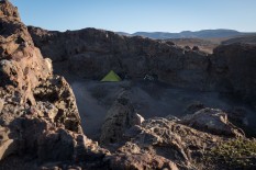
- Wild camping is easy everywhere along the route, and is limited only between San Diego and Tecate. You can camp on the eastern side of Otay Mountain, before descending to Engineer Springs on the road.
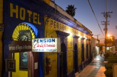
- Motels are well-priced, especially as a shared expense ($15-35 is typical for a double occupancy room).
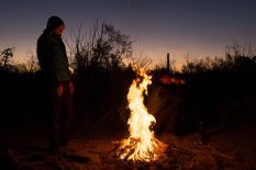
- It can be difficult to source fuel for alcohol stoves. Gasoline would be the most reliable fuel source, although we enjoyed fresh foods for the three months we spent in Baja while researching the route. Fires are convenient as long as winds are not strong.
- Water is limited along most of the route, although the resupply guide and distance chart should allow you to plan ahead. Carry 8-12 liters on longer sections of the route, such as from Cataviña to El Cardón (to Santa Rosalillita).
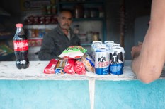
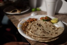
- Mexican stores have great bikepacking foods, including bags of beans, hard cheeses, fresh tortillas, and vegetables. Nuts, packaged cookies, and fruits provide convenient snacks.
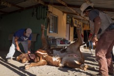
- Beef is common in Mexico, and ranching continues to play a role in the local economy. Beef tacos are popular fare around the highway towns.
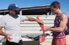
- Even though towns like Vizcaíno and Ciudad Constitución aren’t on the water, their proximity to both coasts makes then a great place to try ceviche, fish tacos, or seafood cocteles.
- A return route from San José del Cabo is offered for those that plan transport out of La Paz. Flights leave from La Paz and San José del Cabo, although ferries to Topolobampo and Mazatlán only leave from La Paz. Buses travel the length of the peninsula multiple time daily, in both directions.
- Baja California is a safe place to travel.
- Visit BajaDivide.com for more GPX tracks, basemap downloads and a printable resupply charts and distance guide
Additional Resources
- Brendan Collier’s Baja Divide Video Preparation Series is a great resource for those planning a trip on the Baja Divide. Also, check out our Guide to Desert Bikepacking.
- For the full route and detailed guide, visit BajaDivide.com
Terms of Use: As with each bikepacking route guide published on BIKEPACKING.com, should you choose to cycle this route, do so at your own risk. Prior to setting out check current local weather, conditions, and land/road closures. While riding, obey all public and private land use restrictions and rules, carry proper safety and navigational equipment, and of course, follow the #leavenotrace guidelines. The information found herein is simply a planning resource to be used as a point of inspiration in conjunction with your own due-diligence. In spite of the fact that this route, associated GPS track (GPX and maps), and all route guidelines were prepared under diligent research by the specified contributor and/or contributors, the accuracy of such and judgement of the author is not guaranteed. BIKEPACKING.com LLC, its partners, associates, and contributors are in no way liable for personal injury, damage to personal property, or any other such situation that might happen to individual riders cycling or following this route.
Please keep the conversation civil, constructive, and inclusive, or your comment will be removed.


